GIS Software Development Services
Ship Faster with GIS Experts Trusted by High-Growth Teams
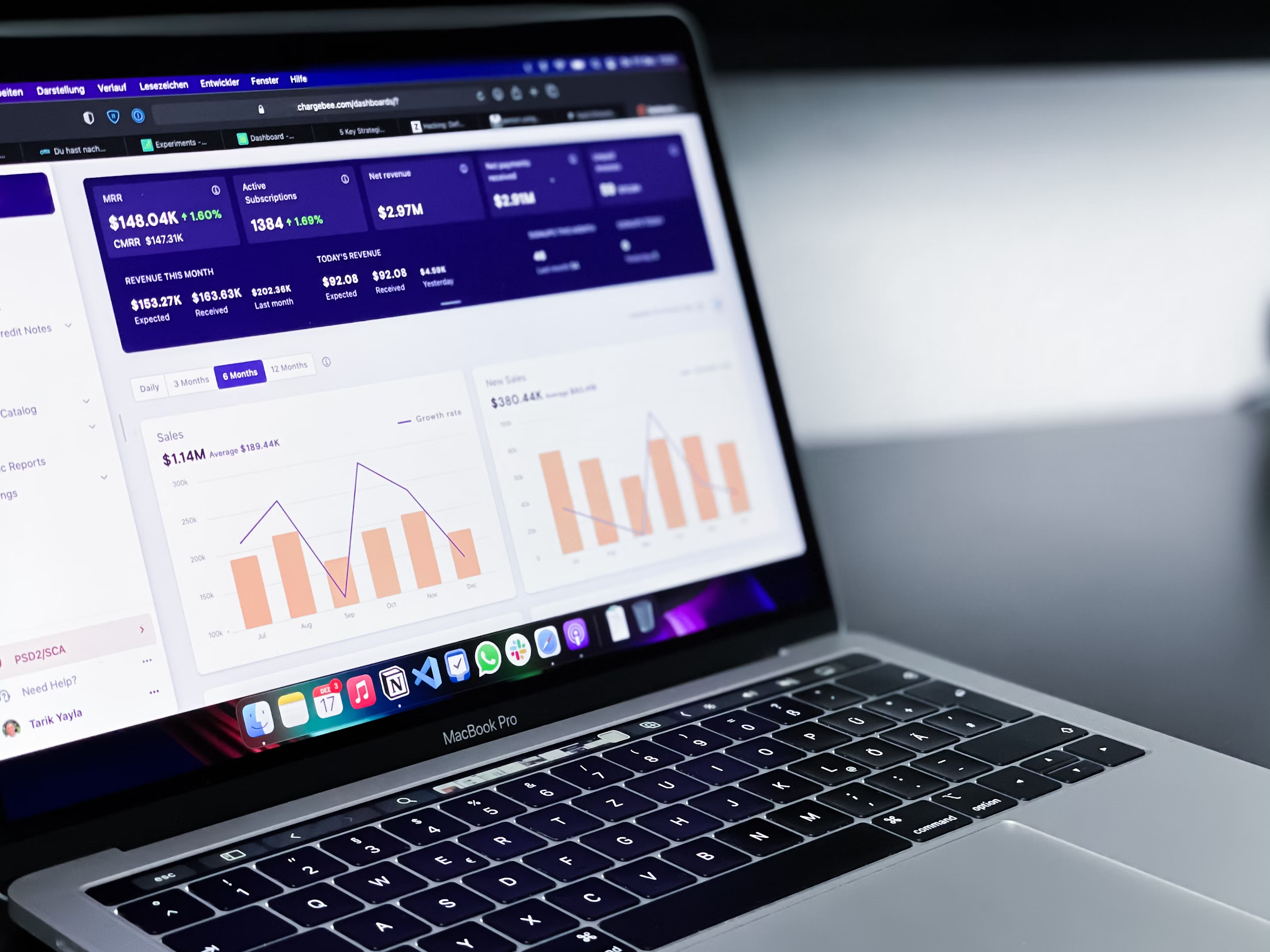
Our GIS team has shipped hundreds of projects for fast-moving product teams. Every engineer on your project is senior-level — experienced enough to handle complexity without slowing you down.
AI tools we use:


Schedule a Strategy Call
Trusted by dozens of teams that don't compromise on talent.
Our GIS Software Development Services
Swovo offers a range of GIS software development services tailored to meet the unique needs of businesses seeking geospatial solutions.
Geospatial Data Analysis
Our experts utilize GIS technology to analyze and interpret geospatial data for insightful decision-making.

Custom Geospatial Solutions
We develop tailored geospatial solutions to address specific business needs and enhance operations.

GIS Mapping Applications
Our GIS mapping applications provide interactive and visually engaging platforms for geographical data visualization.

Location-Based Services
We create location-based services that leverage GIS technology to offer personalized and context-aware experiences.

Spatial Data Infrastructure
Our spatial data infrastructure solutions enable efficient storage, management, and retrieval of geospatial data.

Geofencing Solutions
We implement geofencing technology to create virtual boundaries for location-based alerts and geo-targeted notifications.

Built in Boulder. Trusted Worldwide.
Swovo is an award-winning boutique design and engineering consultancy founded in Boulder, Colorado. We started in 2018 with a simple goal: build exceptional design and engineering teams powered by top talent across Latin America.
Our 40+ person team operates across Brazil, Colombia, Argentina, and the Dominican Republic — delivering senior-level expertise with real-time collaboration for US-based companies.
From early-stage startups to enterprise platforms, we help teams move faster without compromising quality.
80
80
Nps
3+
3+
Client relationship
5.0
5.0
Clutch rating
50+
50+
Industry awards

Types of GIS Applications we Create


Our Process for GIS Projects

01
Scoping
We have detailed discussions to understand your requirements, objectives, and challenges.

02
Proposal
We provide you with a proposal that outlines scope, timelines, required resources, and costs.

03
Contract
A contract formalizes our relationship and commitment to delivering the agreed-upon services.

04
Execution
We kick off the project by dedicating our resources to design and implement the software solution.
A trusted partner for your business.

“Our company is growing, and as we started looking to scale, we wanted a more efficient business model. We hired Swovo to build a platform that would help connect talent with the right company.”
Brian Bar
Founder and CEO

“They deconstructed our idea and provided it back to us in an incredibly smart and accessible manner. Swovo is constantly solving problems in both a visually stunning and intelligent way.”
Storey Jones
Founder and CEO

“With the help of Swovo, we were able to launch a large update to our platform, introducing new innovative tools for our clients. The information was complex but Swovo found creative ways to present it, making it feel simple and easy to understand.”
Jeremy Zaborowski
Co-Founder & CTO

“Swovo's work optimized site design and flow. The creative lead at Swovo demonstrated exceptional UX know-how, integrating usability and design to deliver a powerful product. The client came out of the engagement with a wider understanding of the most important platform features.”
Heidi Hildebrandt
Director of Product
Cutting-Edge Technologies for GIS Development

Python
Python is a versatile programming language widely used for artificial intelligence, data analysis, and backend development.
PostgreSQL
PostgreSQL is an advanced, open-source relational database known for reliability and feature robustness, ideal for complex data applications.

AWS IoT
AWS IoT provides a secure and scalable platform to connect and manage IoT devices, enabling real-time data processing and automation.

React.js
React.js is a popular JavaScript library for building interactive user interfaces, especially single-page applications.

Node.js
Node.js is a server-side JavaScript environment ideal for building scalable and high-performance applications.

TypeScript
TypeScript is a superset of JavaScript that adds static typing, improving development efficiency for large-scale applications.
Our GIS Development Engagement Models
We offer flexible engagement models to support businesses in implementing robust GIS software development solutions.Why Choose Swovo for GIS Development?

Expertise in GIS Technology
Our team specializes in GIS software development, bringing extensive knowledge of geospatial technology to deliver top-notch solutions for your mapping and spatial analysis needs.

Customized Solutions
We tailor our GIS software solutions to fit your specific requirements, ensuring that your organization gets the most out of geospatial technology.

Data Accuracy and Integration
We prioritize data accuracy and seamless integration within your workflows, enabling better decision-making and operational efficiency.

Scalable Solutions
Our GIS software solutions are designed to scale with your business growth, providing flexibility and adaptability in handling increasing data volumes.

Dedicated Support
We offer dedicated support throughout the development process and beyond, ensuring that your GIS software functions optimally and meets your business goals.

Geospatial Analysis Expertise
Benefit from our in-depth knowledge of geospatial analysis, allowing us to create GIS applications that provide valuable insights for your projects.